Geo Coordinates
37.406189,-77.269350General Location
Route 5, 12.3 miles southest of Richmond about 75 feet east of Curles Neck Road
Description
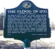
On May 27, 1771, a wall of water came roaring down the James River valley following ten to twelve days of intensive rain. As water swept through Richmond, buildings, boats, animals, and vegetation were lost. About one hundred fifty people were killed as the river reached a flood stage of forty-five feet above normal. A monument to the flood was inscribed by Ryland Randolph, of Curles, in 1771-72: “all the great rivers of this country were swept by inundations never before experienced which changed the face of nature and left traces of violence that will remain for ages.”


