

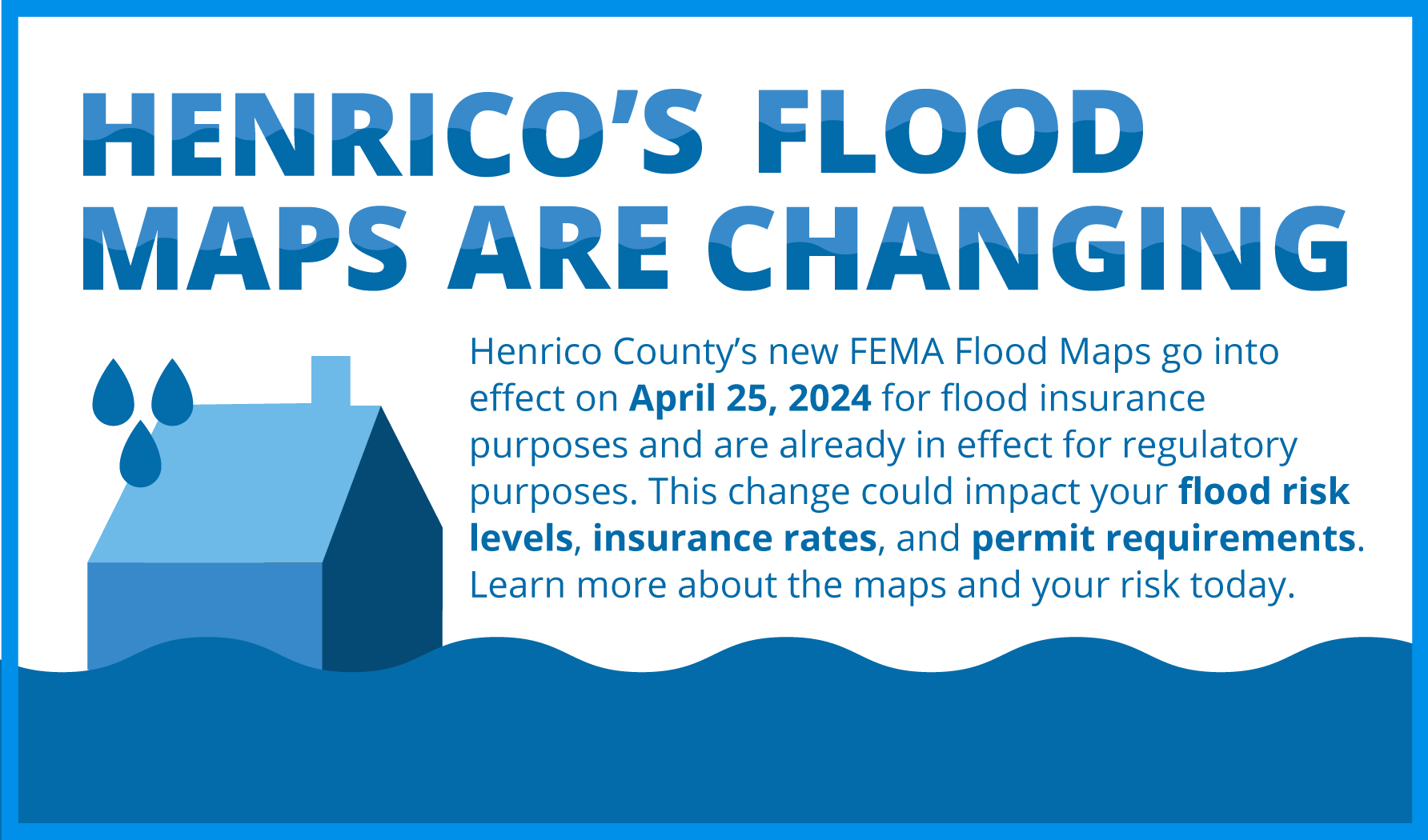
Henrico County participated in a multi-year process with the Federal Emergency Management Agency (FEMA) to map its current flood risk. Those maps, known as Flood Insurance Rate Maps (FIRMs), go into effect on April 25, 2024 for flood insurance purposes and are already in effect for regulatory purposes. You can learn more about the update by viewing this video.
Map Update Letters
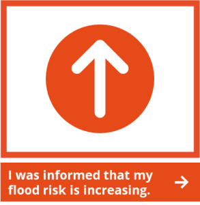
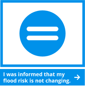
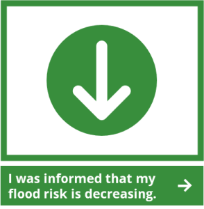
If you have received a letter from the county, please click below on your flood risk for more information about next steps to protect you and your property.
What are flood hazard maps?
Flood hazard maps, also called Flood Insurance Rate Maps (FIRMs), show levels of flood risk and are important tools in the effort to protect lives and properties in Henrico County. Created by FEMA for floodplain management and community planning, the maps show a community’s flood zones, Base Flood Elevations (BFEs), and floodplain boundaries.
Why is Henrico County getting new flood hazard maps?
The current flood maps for Henrico County are outdated, as they are based on data and modeling from 2007 and earlier. Over time, water flow and drainage patterns can change dramatically due to surface erosion, development, and natural forces. The likelihood of flooding in certain areas has changed along with these factors.
The new flood maps integrate newer data with the latest modeling technology to provide an updated picture of Henrico County’s flood risk. The result— a better picture of the areas that are most likely to be affected by flooding and a better foundation from which to make key decisions.
What is the difference between a FEMA Special Flood Hazard Area (SFHA) and a Community SFHA?
In addition to the flood risk assessment and mapping prepared by FEMA, Henrico County has additional areas subject to flood risk that are mapped and referred to as Community SFHAs. These areas are not being updated as a part of this FEMA map update, but they are being updated and expected to be completed in 2025. Learn more here.
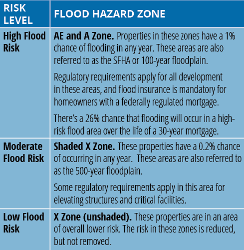
What is a high-risk area, and how do I determine if my property is located in this area?
In Henrico County, high-risk flood areas are identified as the SFHA, which consist of both FEMA SFHAs and Community SFHAs. These areas are often described as floodplains or areas located in a “100-year flood zone.” The term “100-year flood” can be misleading. It is more accurately described as the flood elevation that has a 1% chance of being equaled or exceeded each year. It is not the flood that will occur once every 100 years. There’s no way to predict when the next flood will occur— or the one after that.
Visit the County’s Map Viewer here to view the current and new maps. The table below provides an explanation for the flood zone designations found on the flood maps in Henrico County.
Henrico Help Desk
Learn More
- Henrico County Map Updates Frequently Asked Questions (translations available)
- FloodSmart.gov: General information about flood insurance
- Map Changes & Flood Insurance: What Property Owners Need to Know
- National Flood Insurance Program (NFIP)
Abbreviations
- BFE – Base Flood Elevation
- FEMA – Federal Emergency Management Agency
- FIRM – Flood Insurance Rate Map
- NFIP – National Flood Insurance Program
- SFHA – Special Flood Hazard Area
Help Spread the Word
Henrico County is working to raise awareness of flood risk and the Federal Emergency Management Agency (FEMA) flood map changes. Help spread the word by sharing materials from our resource kit with your network. Click below to explore the resources and download.
Upcoming Events
Check back soon for upcoming public meetings and events.

