

Interactive Maps
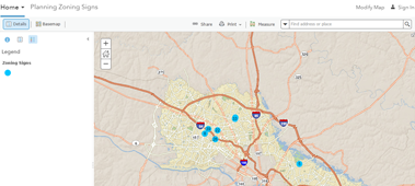
Did you happen to see a big blue sign with the County Seal and the words “Public Hearing”? The sign indicates that a property owner has applied fo
View more information about Blue Public Hearing Sign
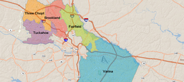
Use this map to locate your magisterial district's supervisor.
View more information about Find Your Supervisor
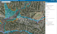
This map presents the FEMA and County designated 100-year and 500-year floodplains within Henrico County, as well as Dam Safety information. In accord
View more information about Flood Zones & Dam Safety Information
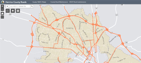
This map shows which roads in Henrico County are county maintained vs. VDOT maintained.
View more information about Henrico County Roads
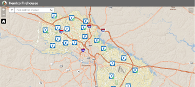
Map of the Henrico Fire Station locations.
View more information about Henrico Fire Stations
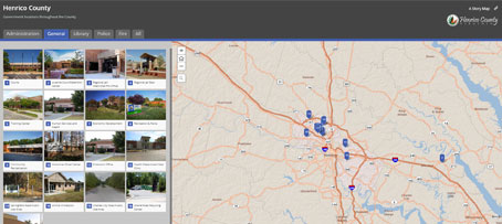
Map of Henrico County government facilities including Administration, Library, Police and Fire. Each facility includes a link to find additional info
View more information about Henrico Government Locations
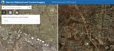
Application for comparing (swiping) historical (1998) and current (2020) imagery in Henrico County.
View more information about Henrico Historical and Current Imagery
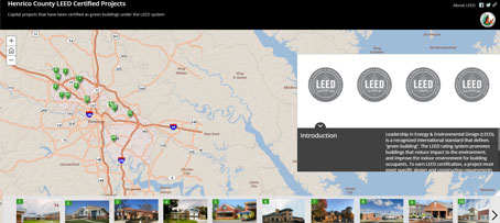
Leadership in Energy & Environmental Design (LEED), is a recognized international standard that defines “green building".
View more information about Henrico LEED Certified Projects
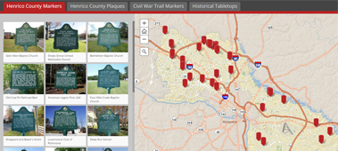
Historic Roadside Markers in Henrico County, Virginia. Includes Henrico County Markers, Henrico County Plaques, Civil War Trail Markers and Historical
View more information about Henrico Roadside Markers

Planned road closures within Henrico County for road maintenance and repair.
View more information about Planned Road Closures
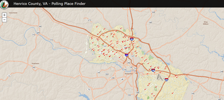
Election Polling Places
The Election Polling Places application helps citizens locate their election polling place and obtain information about cu
View more information about Polling Place Locator
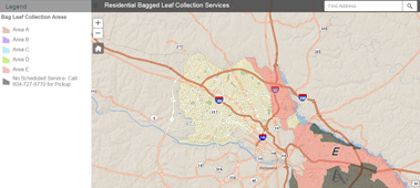
This map will allow our customers to see when our staff will collect bagged leaves within their community.
View more information about Residential Bagged Leaf Collection Map
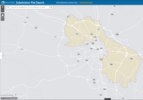
Search Henrico County subdivision plats.
View more information about Subdivision Plat Search
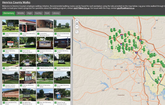
Walking routes can be found for each workplace using the tabs provided on this map.
View more information about Walking Trails
Other Maps
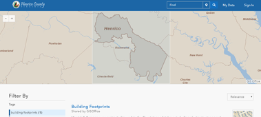
The site provides access to GIS data for parcels, planning, transportation and more.
View more information about GIS Open Data
PDF Maps
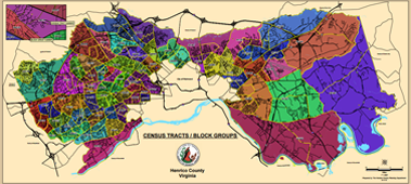
Henrico County Census Tracts/Block Groups Map
View more information about Census Tracts/Block Groups
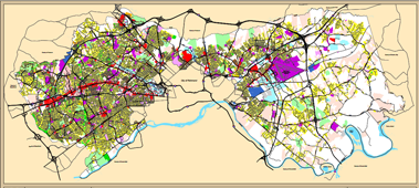
Henrico County Existing Land Use Map
View more information about Existing Land Use
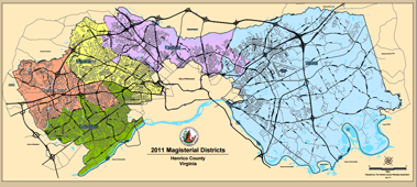
Magisterial District Base Map - wall size - (3.34 mb)
View more information about Magisterial District Base Map
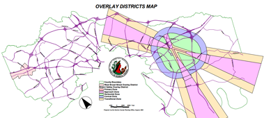
Henrico County Overlay Districts Map
View more information about Overlay Districts
This map provides a breakdown of Henrico County by Traffic Analysis Zones (TAZs), geographic areas shaped primarily by the county’s transportation n
View more information about Traffic Zone Map, 1990
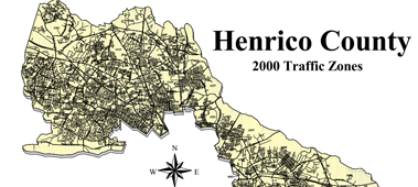
This map provides a breakdown of Henrico County by Traffic Analysis Zones (TAZs), geographic areas shaped primarily by the county’s transportation n
View more information about Traffic Zone Map, 2000
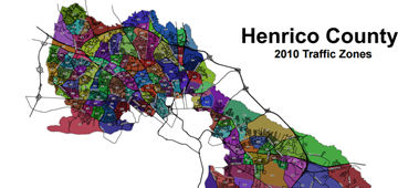
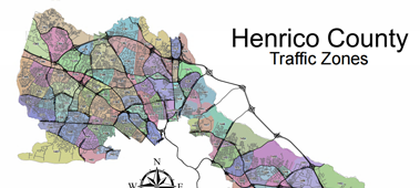
This map provides a breakdown of Henrico County by Traffic Analysis Zones (TAZs), geographic areas shaped primarily by the county’s transportation n
View more information about Traffic Zone Map, 2010
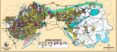
Henrico County Zoning Districts
View more information about Zoning Map