

Maps and Aerial Photographs
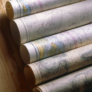
Henricopolis SWCD maintains a catalog of resource maps and historical aerial photographs. Map resources include topographic maps, National Wetlands Inventory (NWI) maps, and the Soil Survey of Henrico County.
Photos and maps include coverage of Henrico County only and are available for the following years: 1998 (color), 1989, 1981, 1971, 1965, 1959 and 1953
These resources are available to both the public and private sector for review. Customers wishing to review and/or make copies of these materials must be assisted by Henricopolis staff.
Please contact the office at (804) 501-5175 or [email protected] to schedule an appointment.
Current aerial photo maps, property maps, zoning maps, planimetric maps, custom maps, and others are available from the Henrico Permit Center. Maps containing abandoned mine locations are available from the Virginia Department of Mines, Minerals and Energy
